The Israel Defense Forces (IDF) issued a rare public apology Friday night after posting a map on X that incorrectly depicted India’s borders—excluding Jammu and Kashmir—triggering swift and widespread backlash from Indian users.
The controversial map, meant to illustrate Iran’s expanding missile threat, showed India with inaccurately drawn international boundaries. Posted as part of a broader warning about Iran being a “global threat,” the map ignited fury among Indian social media users, some of whom tagged Israeli Prime Minister Benjamin Netanyahu, demanding an immediate correction.
Within 90 minutes, the IDF responded directly to one such tweet from a handle called “Indian Right Wing Community,” saying, “This post is an illustration of the region. This map fails to precisely depict borders. We apologise for any offense caused.”
The apology did little to quell the anger, with users pointing out that such a misrepresentation from a close strategic ally like Israel was both “offensive” and “unacceptable.” One user wrote, “Now you understand why India remains neutral. In diplomacy, no one’s really your friend.”
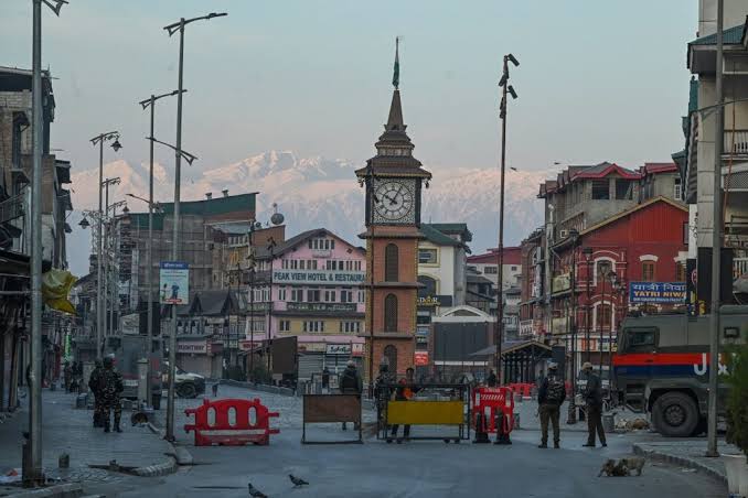
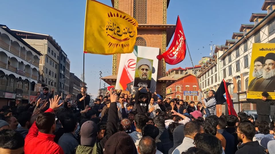
The Indian government has not issued an official statement yet, but the sensitivity of the issue is clear. India has long maintained that Jammu & Kashmir and Ladakh—parts of which are illegally occupied by Pakistan and China—are integral to its sovereign territory. That stance was reiterated by Prime Minister Narendra Modi as recently as May, after the Pahalgam attack.
India and Israel enjoy deep diplomatic and defense ties. Modi became the first Indian Prime Minister to visit Israel in 2017, and India is among Tel Aviv’s biggest defense customers globally. The two nations also share robust trade relations, with Delhi ranked just behind the U.S., U.K., Hong Kong, and China in trade volume with Israel.
In light of such close ties, the error was met with surprise and disappointment. The IDF’s original post included a map showing concentric red circles radiating from Iran, suggesting missile reach across neighboring regions—including India, China, parts of Europe, and North Africa.